Thursday, August 17, 2006

The last hour of work slowly ticked by. I even started this little excel spreadsheet to keep track of how many minute I had left. I would update it every few minutes. “58 minutes”….”52 minutes”….”49 minutes.” Then the time had finally come and I quietly gathered my stuff and headed for my bike. I was home in 10 minutes and started packing. I usually go over the packing list the night before so I can just load up when I leave.

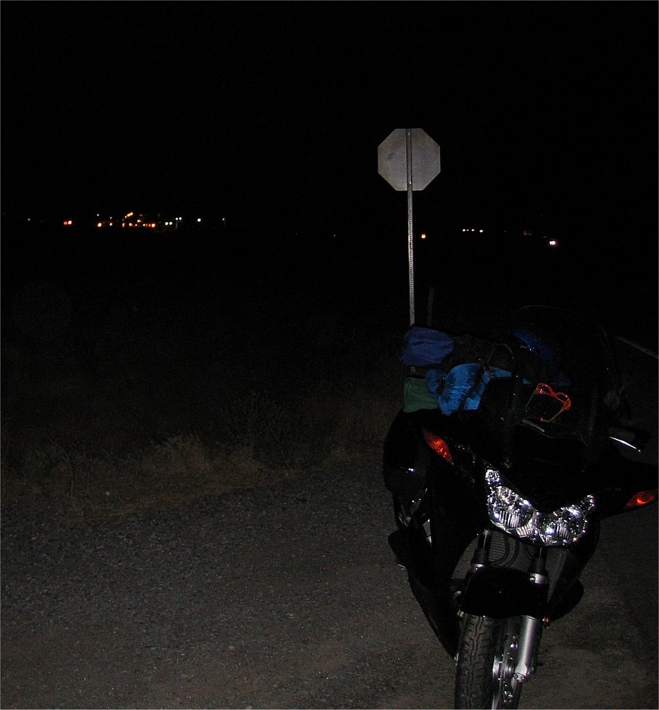
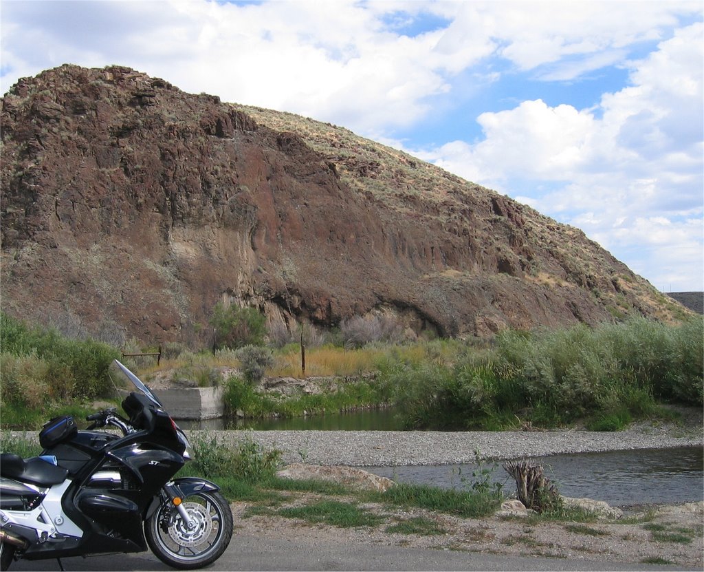
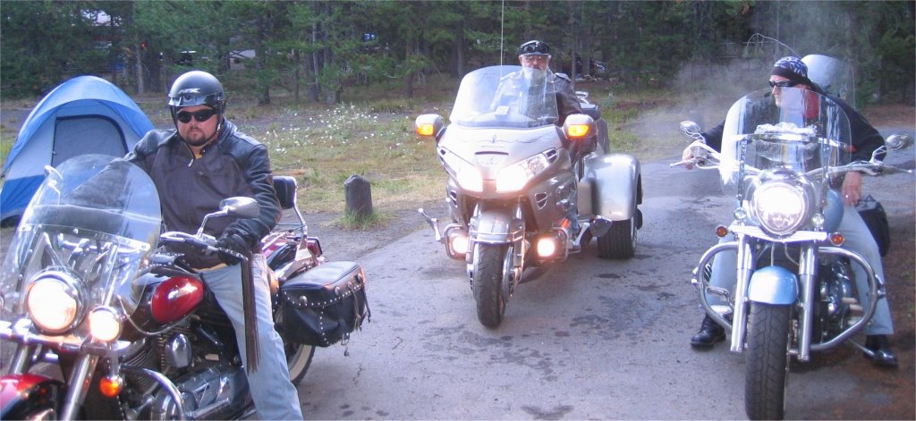
Sleeping bag, check, tent check, cot check, clothes bag check, fold up chair check. Bungy everything to the bike. Umm, what am I missing? Oh, blanket. Tank bag is ready with the camera and music near the top for easy access. Pull the bike outside the garage and I’m off.

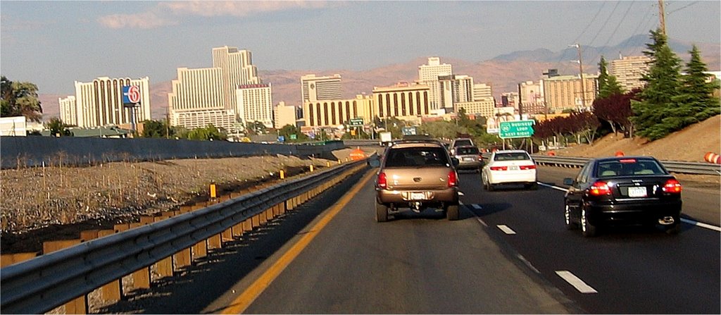
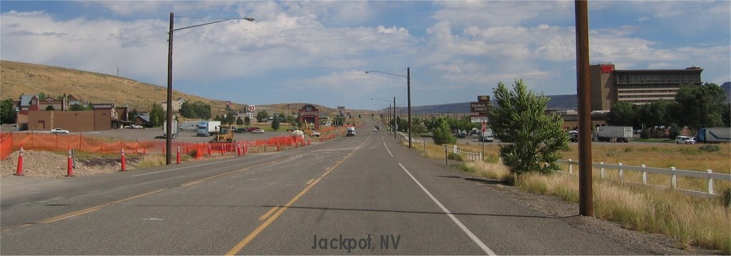
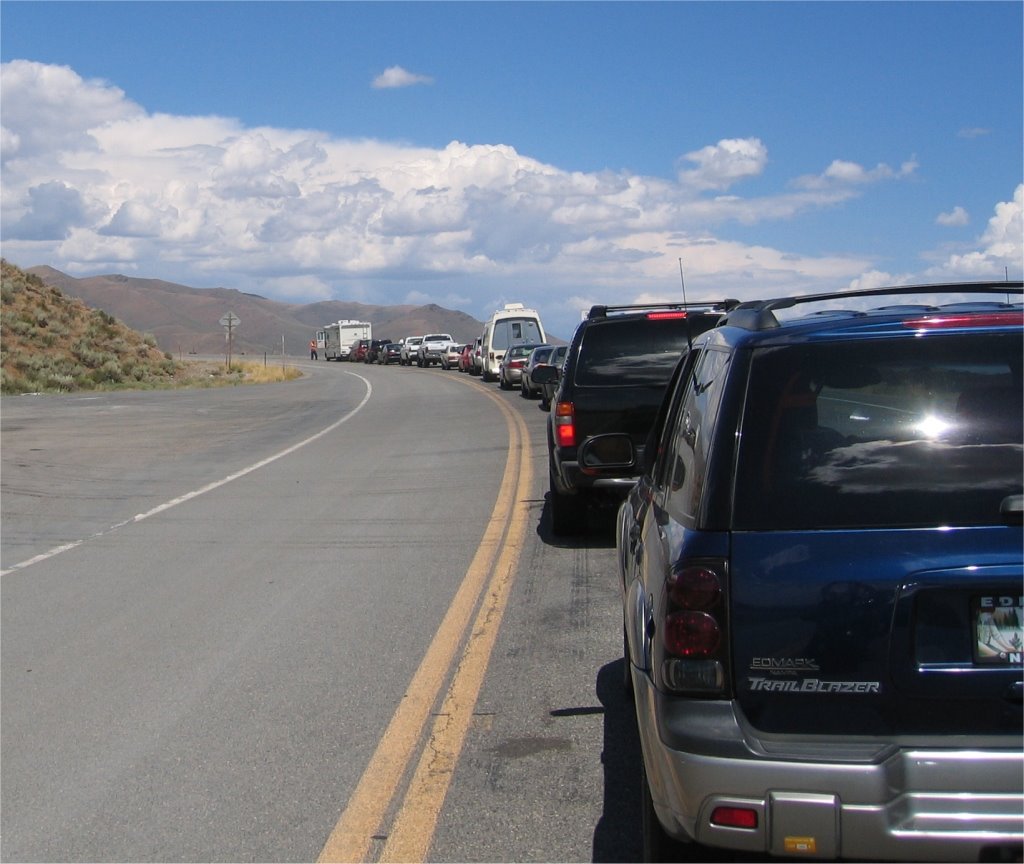
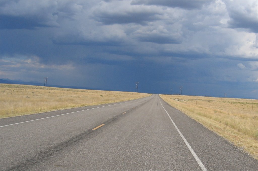
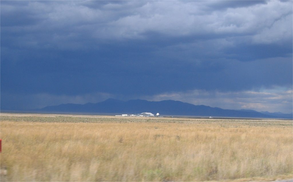
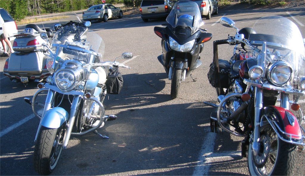
I’m anxious to be under way. I always am before a road trip. It’s the worst time for me. I always forget something and sure enough this time I did also. My rain suit and I didn’t realize it until I was in Idaho, two states away.

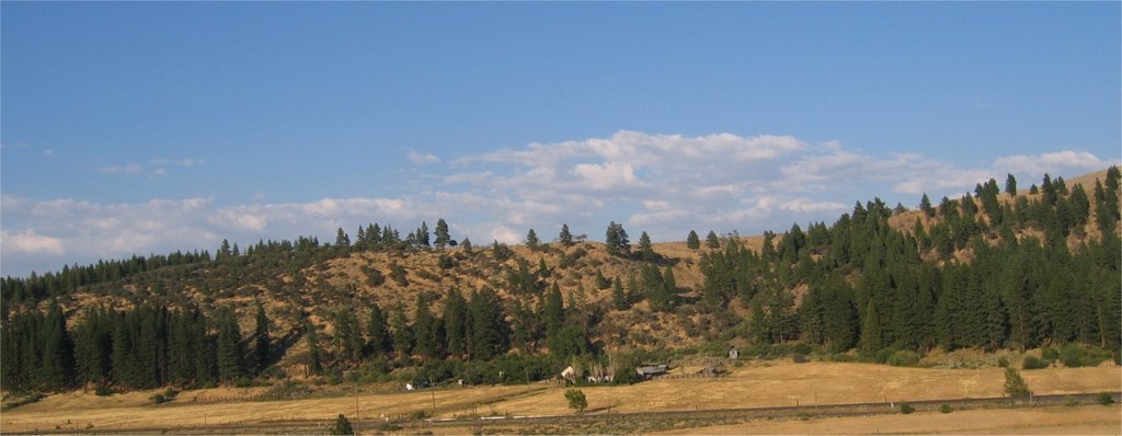
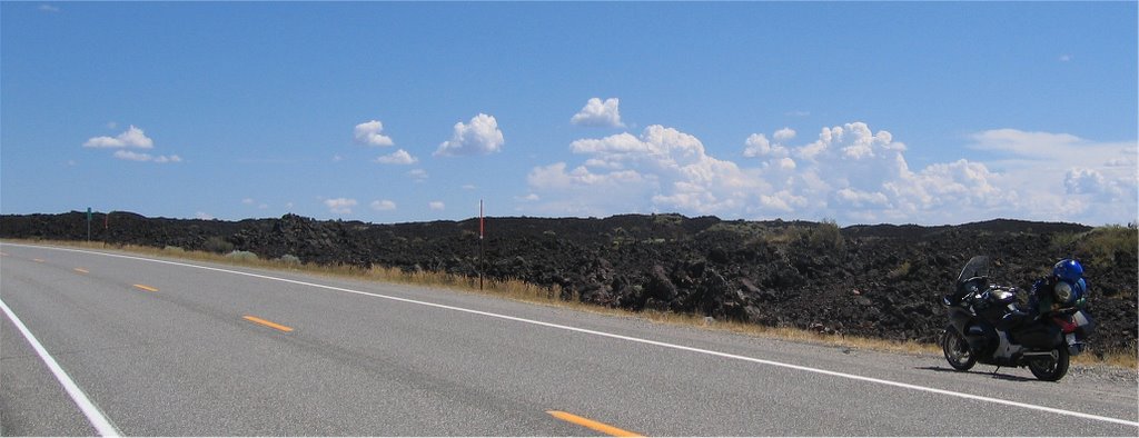
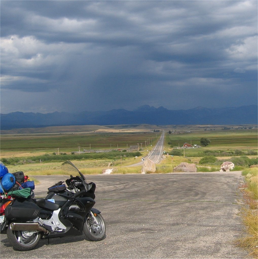
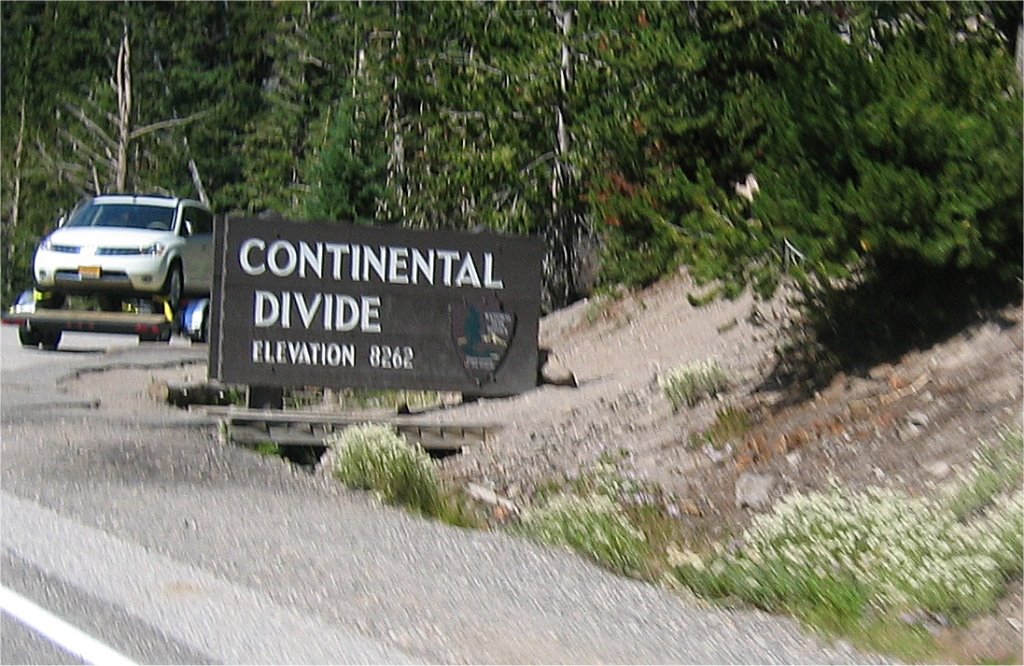
I stop in Auburn about 30 miles from home just to give everything a good check over.

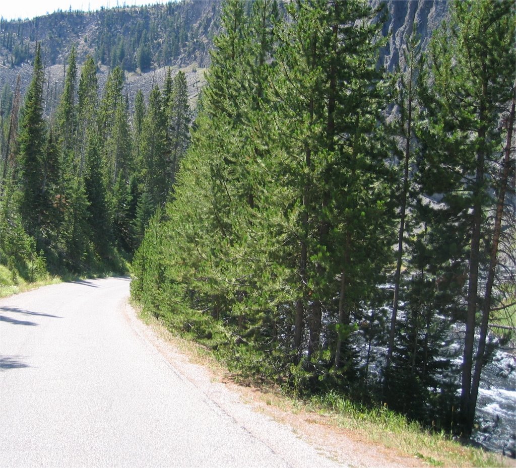
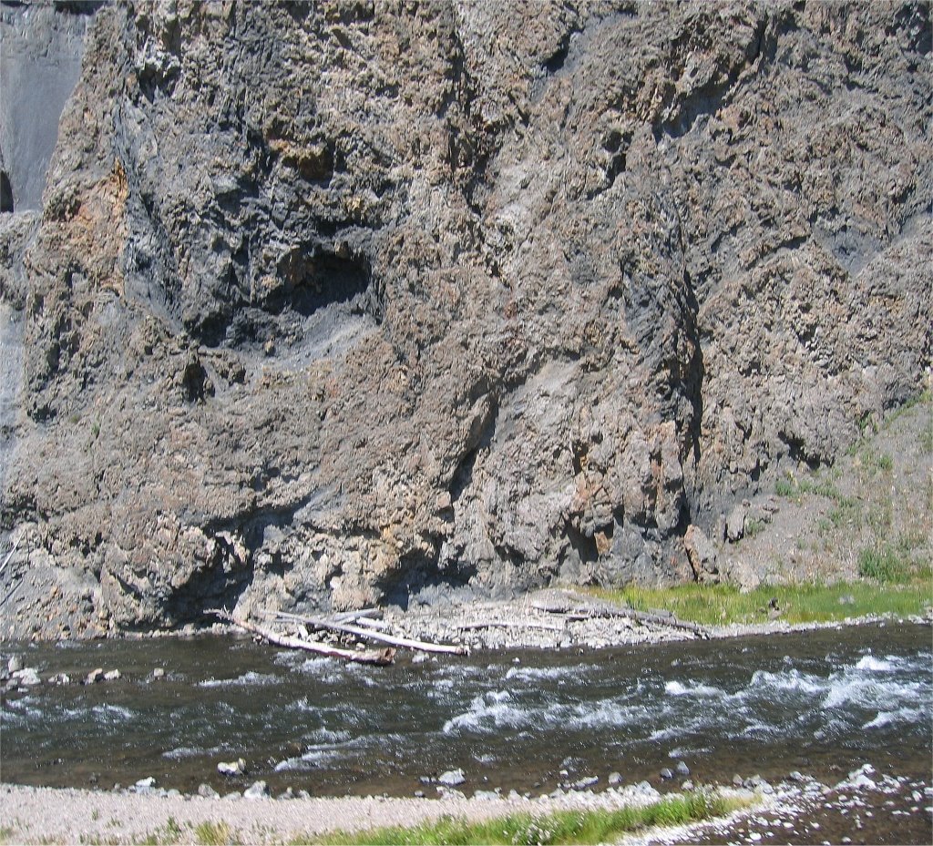
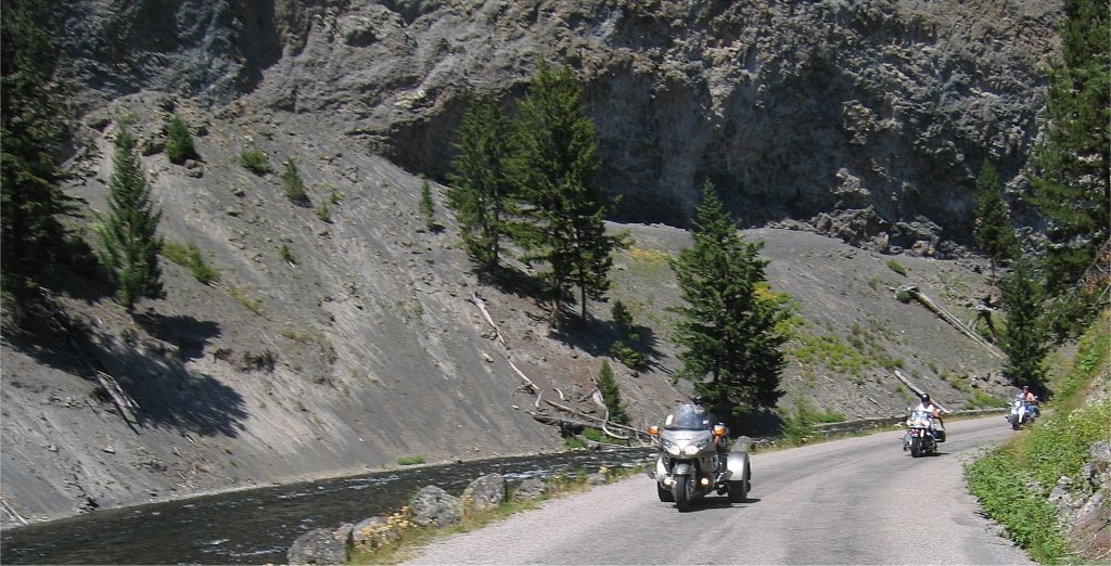
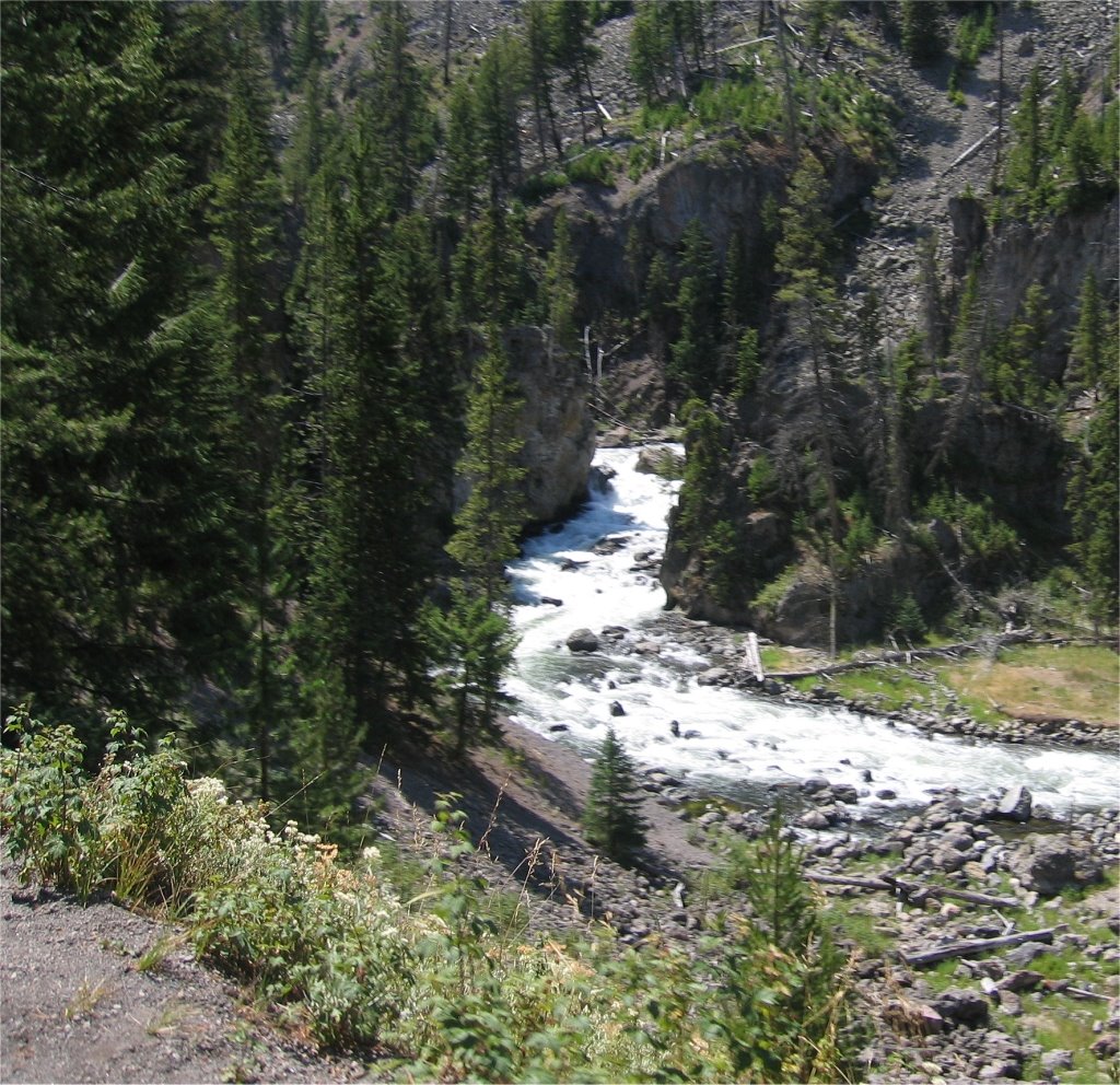
(click on any picture to enlarge)


From Auburn I hit Hwy 80 and head Northeast onto supper slab. It’s 5pm with the sun at my back warming me at about 85 degrees. I crank up the music, and get into a grove with the bike. I’m cruising along about 80 mph winding gently through the mountains when I pass this.

I now know that if I’m going on a road trip and crossing Nevada this is the best time to leave. The temperature drops 20 degrees from sea level to 8000 feet at Donner’s Pass. Then it’s a high speed ride down the other side with everyone cruising along at 85 mph.

Before I know it I’m coming into Reno, NV. Even through I’ve been here dozens of times I still like this town. It’s growing fast, so I enjoy it while I can.


I stop for a quick dinner and see a McDonald’s that sold beer. Don’t believe me? Pictures don’t lie do they?

From Reno you head west on I-80. Not much except desert…and desert. I stop to have a smoke at dusk at this off ramp. (Kinda hard to see the bike because it too dark.)


My plan is to make it to Winamucca, NV but I don’t arrive there until 11pm. Every room in town is booked…some event is going on. I decide to fill up and continue west to Elko. I spent the next two hours kinda in a daze. My whole world consisted of only what I could see in my headlight and the lights on my Speedometer. I knew nothing else was out there except the pavement stretching out in front of me. Finally Elko’s lights show up on the horizon. At first it looks like everything here is going to be booked also when I find out the Motel 6 that has a few rooms left. I check in, unpack and fall asleep.

I get a late start the next morning, didn’t leave until 9am. I turn north on Hwy 95 and head for the Idaho border. It’s cool and the traffic is light. I get about 20 miles up the road when I pull off on a off ramp that leads to nowhere and parked. I like to stop after the first 20 or 30 miles to make adjustments to my load and check to make sure everything is riding OK. This is also when I notice the down pour to the north west. Eckkk!


I jump back on my bike and zoom past this ride for the next couple of hours. I’m being warmed with partly cloudy skies riding from sun to shade to sun once again. Hwy 93 has many straight sections, your direction is controlled by the shape of the mountains.


I finally arrived at Jackpot, NV. I remember this town with Ronnie back in 05, we stopped here about Midnight to get a bite to eat. Now it was day light and it didn’t look quite the same.

And just around the corner from Jackpot is the Idaho border.

It was another 100 miles up the road when I stopped to take a smoke break. While standing there I saw this on a tomb stone.


If you can’t read, it says:

Remember yesterday
Dream for tomorrow
Live for today

And that’s exactly what I was doing at that moment. Seemed like a good Omen for my trip.

Next I hit Hwy 20 going North East and crossed 'Craters of the moon National Park'. Nothing out here except black lava rock.

Not many turns along this stretch of road.

Then in the middle of the park I run into construction. Mummm, wonder how long I’ll be sitting here.

For the next 10 miles it’s dirt. Some soft, most hard. Here is the good part.


Then it gets worst. Very touchy in many places and if you are ever on Hwy 93 in Idaho, be careful.

The weather up to this point has been great. But I keep seeing these down pours in the distance.

But I’m heading this way.

Don't like those dark clouds.

Wednesday, August 16, 2006

Oh oh, this doesn’t look good…

They have this place in Idaho called INEL. It stands for Idaho National Engineering Laboratory and it has all the signs of a secret military base. Road with signs saying “NO ADDMINATANCE” and hugh hangers. I think it’s this place that’s causing the weather to turn bad. I talked to a guy while I was getting gas and he told me that during it's peak they had a complete submarine underground that could slip out to the ocean on a underground river. The road does a little zig zag here and I feel like I’m in some twilight Zone movie.

I stop to grab a bit to eat and I see those pesky clouds catching up to me.

This is where I’m headed. Those dark mountains are the back side of the Grand Tetons. A side not usually seen by most.

Here is a better picture. Weather is getting worst.

From here I turn west on Hwy 22 and cross this pass just south of the Grand Tetons National Park to head into Jackson, WY.

Once I started up the pass it started raining hard. No pictures at this time because it’s all I can do to just see the road. From here it’s another hour to get to the Yellowstone gate. The rain has slowed to a drizzle but the temperature has dropped 20 degrees. I pull into the Quigg camp around 9:30pm and meet the gang. While we are getting our introductions I’m pitching the tent. After another round of “Hello’s” and “how was the trip”, we all decided to hit the sack.


That’s Tim on the left on the Vol, Quigg in the center on the Honda crutch rocket, and Bob on the right on the monster Kaw 2000.


Off to breakfast we go. Luckily they have a nice little café in the back of the general store not far from camp.

After breakfast it’s off to do the loop. Once you turn left onto Hwy 89 and head north you see Yellowstone Lake.

Yellowstone roads are gently sweeping curves not only going left and right, but up and down.

We crossed this several times. And the water going to the Mississippi River tastes the same as the water going to the Pacific Ocean. Strange isn’t it?

You can’t go faster than 45 mph in the park and lots of traffic. Several times we just sat on our bikes and waited.

First stop is “Old Faithful” pretty much blows every hour. Much more impressive in person.

Quigg and Bobby settle in for the next show.

There she goes….

Then it was off to see some other thermals.

We found this little road that let walk right up to a small thermal pool. The water has this strange blue color and it stinks.

Quigg, Bobby and Tim enjoying the view.

Here is another small road we took through the park. This place was full of them. You would see a sign saying something like “Devil’s Bathroom” with a OneWay sign and it would loop through something good.

But it’s nothing Quigg, Tim and Bobby couldn’t handle.

Then we climbed above the water as the road followed the mountainside.

I liked this road, except for the traffic.

Can’t see this from the main drag.

Or this


From here it was back to the main Hwy and head north. That’s when we came to these awesome falls.

Taking a break. Love the pipes on that 02 Vol.

Are they pointing? (Tim keep saying, “What, why, uh, what, why???) Now you know why Tim.

This is another strange yellow snow mobile. I saw one on another trip in 2005 just like this. Very Kewl.

Oh yea, you have to see the buffalo if you are ever in Yellowstone. (kinda hard to miss them.)

Then it’s back to camp.

There goes Bobby for a walk on the sand bar. (Qigg said he was trying to get a signal. Very hard to use the phone out here.)